


Select NOAA-NWS Forecast Office Text Products
(Product availability varies with seasons, forecast office, and weather.)
Hazardous Weather Outlook for Grand Rapids, MI
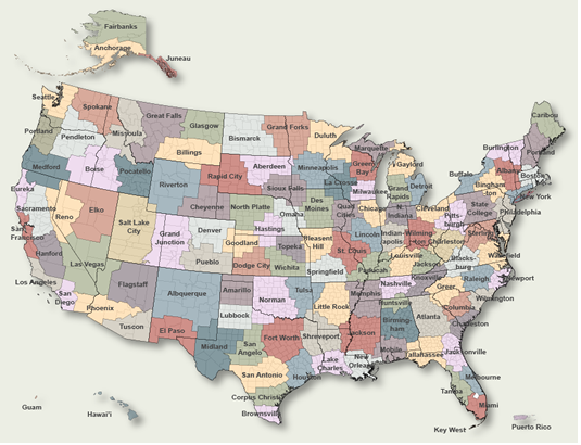
To Select Another NWS Office Click on Map or Choose from List
|
| Select Forecast Office: | Select Product: |
555 FLUS43 KGRR 270710 HWOGRR Hazardous Weather Outlook National Weather Service Grand Rapids MI 310 AM EDT Sat Jul 27 2024 MIZ037>040-043>046-050>052-056>059-064>067-071>074-280715- Mason-Lake-Osceola-Clare-Oceana-Newaygo-Mecosta-Isabella-Muskegon- Montcalm-Gratiot-Ottawa-Kent-Ionia-Clinton-Allegan-Barry-Eaton- Ingham-Van Buren-Kalamazoo-Calhoun-Jackson- 310 AM EDT Sat Jul 27 2024 This hazardous weather outlook is for portions of southwest Lower Michigan. .DAY ONE...Today and Tonight No hazardous weather is expected at this time. .DAYS TWO THROUGH SEVEN...Sunday through Friday Thunderstorms are possible Monday into Tuesday. .SPOTTER INFORMATION STATEMENT... Spotter activation will not be needed. $$ LMZ844>849-280715- St Joseph to South Haven MI-South Haven to Holland MI- Holland to Grand Haven MI-Grand Haven to Whitehall MI- Whitehall to Pentwater MI-Pentwater to Manistee MI- 310 AM EDT Sat Jul 27 2024 This hazardous weather outlook is for portions of southwest Lower Michigan. .DAY ONE...Today and Tonight No hazardous weather is expected at this time. .DAYS TWO THROUGH SEVEN...Sunday through Friday Thunderstorms are possible Monday into Tuesday. .SPOTTER INFORMATION STATEMENT... Spotter activation will not be needed. $$ |
Previous Hazardous Weather Outlooks may be found at
NWS Grand Rapids, MI (GRR) Office Hazardous Weather Outlooks.
(Click 'Previous Version' there to view past versions successively.
Some may differ only in time posted.)
Products Courtesy of NOAA-NWS
NWS Information Parsing Script by Ken True at Saratoga Weather - WFO and Products Scripts by SE Lincoln Weather.
Mapping by Curly at Michiana Weather and by Tom at My Mishawaka Weather.